Start Planning · Province & region guide
Qinghai: Where Lakes, Grasslands, and Monasteries Share the Plateau
Qinghai's beauty is spacious, but a map can make its distances look deceptively simple. A lake circuit is a high-elevation journey through changing communities and terrain, not a chain of quick roadside photographs.
Xining, the provincial capital, is a useful starting point in northeastern Qinghai. From there, roads rise toward the plateau. Tibetan, Hui, Tu, Salar, Han, and other communities contribute different traditions, languages, and food cultures. That diversity is one of the region's defining features.
Start with Xining and Ta'er Monastery
Ta'er Monastery, also known as Kumbum, lies near Xining and is closely associated with Tsongkhapa, the founder of the Gelug school of Tibetan Buddhism. Its halls and courtyards belong to an active religious institution. Butter sculpture and other artistic traditions are part of its identity, though displays and visitor access vary. Follow the rules for each hall and give worshippers room rather than treating the entire complex as a museum stage.
Within Xining, museums and neighborhood markets provide a broader introduction. The Dongguan Mosque is an important landmark of Hui Muslim religious life; confirm the current visitor arrangements and respect worship. Learning a little here helps avoid collapsing every plateau settlement into a single Tibetan image.
Qinghai Lake: think shoreline, season, and ecology
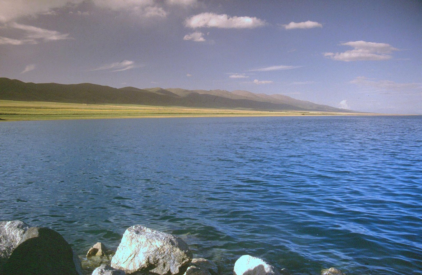
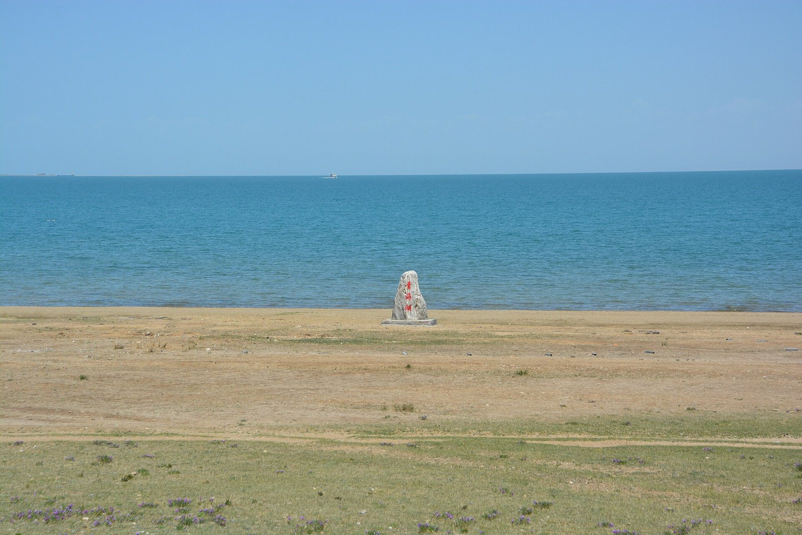
Qinghai Lake is a large high-altitude saline lake west of Xining. Its appeal includes the meeting of water, open pasture, distant hills, and seasonal agricultural color. The shoreline is not one continuous visitor attraction with unrestricted access. Use designated areas, respect fences and ecological protection, and do not drive onto sensitive grassland for a better photograph.
Cycling part of the area can be rewarding for appropriately prepared travelers, but completing a long circuit involves elevation, exposure, traffic, and accommodation planning. A shorter section or a road journey with well-chosen stops may suit a first visit better. Bird habitat and seasonal conservation arrangements can limit access; older descriptions of particular islands should not be treated as current entry instructions.
The lake's appearance changes with clouds and wind. Give yourself enough time to experience that variation instead of searching only for the most saturated blue. Nearby villages and towns offer a chance to understand grazing and farming livelihoods, provided you ask rather than assume.
Chaka Salt Lake is not a guaranteed mirror
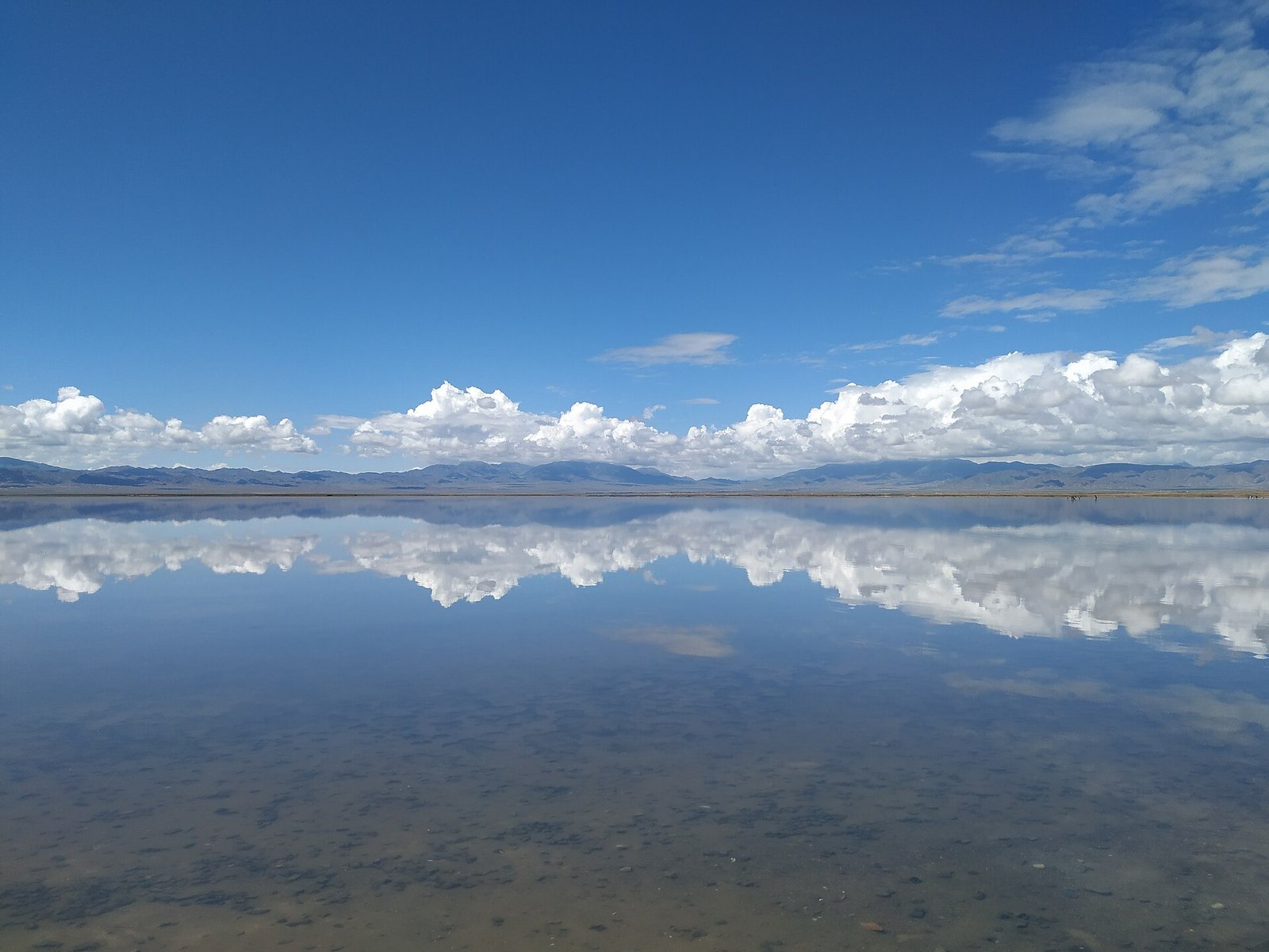
Chaka Salt Lake is west of Qinghai Lake and has developed visitor areas associated with salt production and the shallow water's reflections. The famous mirror effect depends on water, light, and wind; dry or unsettled conditions produce a different scene. Walk only in areas where access is permitted and follow the rules for footwear and protecting the surface. A photograph taken in ideal conditions is not a promise about your visit.
A journey onward toward the Qaidam Basin enters a drier and more remote environment. Other salt lakes and desert landscapes may appear appealing online, but some are industrial or restricted areas rather than open attractions. Confirm access and road conditions with a responsible local operator instead of navigating to a social-media coordinate.
The Qilian Mountains are a different chapter
The Qilian Mountains along the northeastern edge of the plateau bring peaks, pasture, and cooler summer landscapes. Routes around Qilian county and Menyuan can include broad mountain views and seasonal fields. Flower timing varies by elevation and the year; it is better to choose a landscape route than make the whole journey depend on a single blooming week.
Tongren, also known as Rebkong, introduces important Tibetan artistic traditions, including thangka painting. Seek a legitimate workshop or museum explanation and distinguish a religious object from a decorative souvenir. Farther into southern Qinghai, Yushu and the headwater landscapes require a substantially longer and more specialized trip. They do not belong on a short Xining-based loop by default.
Eat warmly and travel gradually
Hand-pulled noodles, halal beef and lamb dishes, yogurt, barley foods, and Tibetan-style meals reflect different communities and environments. Order in places where you can clarify ingredients; neither “plateau food” nor “Muslim food” is a single menu. Shared tea and a market conversation often give more insight than a staged cultural performance.
Qinghai is generally dry, strongly sunny, and cool at elevation, with large day-to-night changes. Winter is severe in many areas; summer still requires layers, and mountain conditions can change quickly. Ascend gradually and seek individualized medical advice if altitude poses a concern. A first journey with time in Xining, a thoughtful lake route, and one chosen extension lets the province feel expansive without making travel exhausting.